Photogrammetry Is Mapping the Caves Beneath Mount Gambier
A team of Australian cave divers is using photogrammetry to map the submerged tunnels beneath Mount Gambier, revealing previously unknown passages and making them accessible to the public.
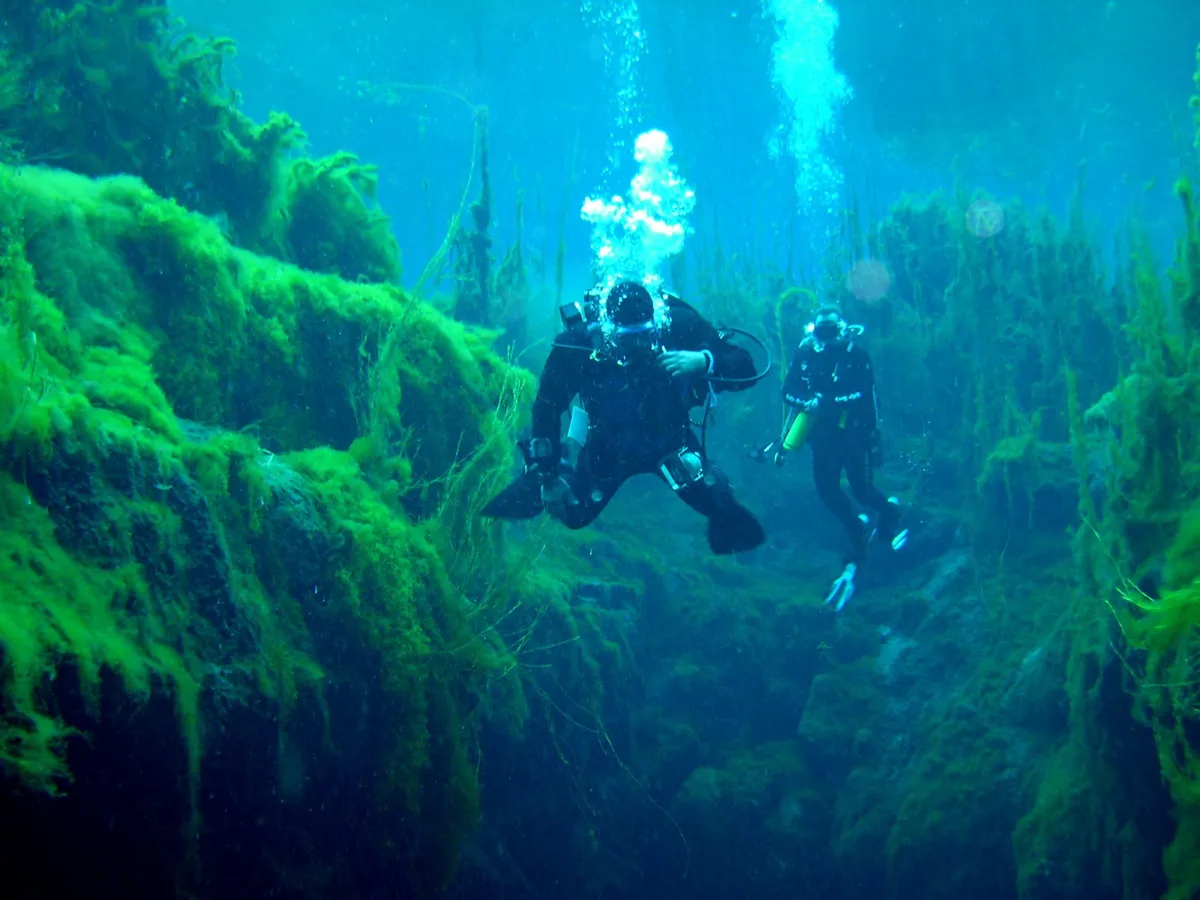

A team of divers led by Will Passos is using photogrammetry with four action cameras to create 3D maps of underwater caves on South Australia’s Limestone Coast, revealing tunnels that weave beneath Mount Gambier’s streets and houses. The technique has already led to the discovery of an extension at Pines Cave near Tantanoola, the first major find in a project designed to document terrain that remains otherwise invisible to anyone without technical diving certifications.
The method—photogrammetry—involves capturing thousands of overlapping images that software processes into precise three-dimensional models. Unlike traditional line surveys that reduce complex cave passages to two-dimensional sketches, this approach preserves the volumetric reality of submerged galleries, converting tight restrictions and sweeping chambers into navigable digital space that can be explored on a screen.
Divers from the Soggy Wombats team have been methodically working through the systems to build models available on the Cave Divers Association of Australia website, visualizing the hollow architecture that exists just below the surface of an inhabited region and democratizing access to passages otherwise reachable only by those with specialized equipment. The maps serve both as scientific documentation and as a safety resource, clarifying the relationship between the built environment above and the submerged voids below.
The find at Pines Cave demonstrates what systematic imaging can accomplish in this terrain. Previous exploration had mapped significant portions of the system, but the extension remained uncharted until the camera arrays revealed passages that earlier surveying techniques had failed to resolve. In a landscape where the tunnels weave directly beneath established streets and houses, each newly discovered gallery suggests that the known network represents only a fraction of what actually exists below the surface.
For a region whose identity is tied to its limestone geology, the project offers a way to see beneath the streets without descending into them. As the team continues working through the Limestone Coast systems, more extensions likely await discovery—each one proving that the architecture beneath Mount Gambier is deeper and more complex than the topography above would suggest.